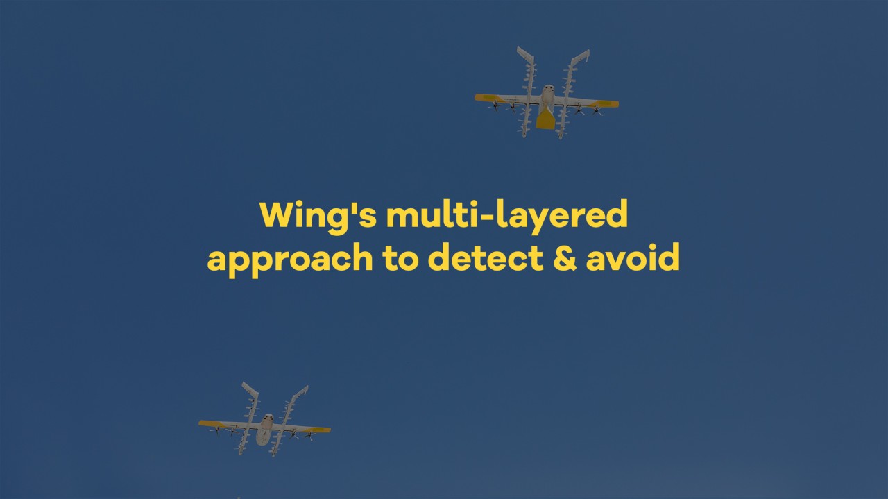
Wing's multi-layered approach to detect & avoid
At Wing, safety isn't just a priority, it's woven into the very fabric of our operations. As a leader in drone delivery, we understand the critical responsibility of sharing the skies with traditional aircraft. That's why we've implemented a multi-layered "detect & avoid" system to enable us to safely integrate our aircraft into complex airspace.?
For our operations in the Dallas Fort-Worth area, Wing drones operate within airspace referred to as the "Mode C Veil” and all Wing operations take place below 400 feet in populated areas where most traditional aircraft are not permitted to fly.?
We also leverage cutting-edge technology to actively detect and avoid other air traffic. Most traditional aircraft within the Mode C Veil are required to utilize Automatic Dependent Surveillance-Broadcast (ADS-B), a system that broadcasts their location and flight data. Our highly automated drones and our “Pilots in Command” are constantly monitoring this real-time data stream. When needed, the drones can pause take off’s and automatically adjust their flight paths to maintain safe distances. Another action the drone can take is to land proactively , directing the drone to designated “preferred landing zones” away from populated areas and traffic, and gently landing on the ground. This is similar to how cars can pull over to the side of the road, when needed. This is yet another layer in the mitigations to help promote safety.
Further, our trained "Pilots in Command" (PICs) continuously monitor the airspace. Our PIC’s can also intervene during a drone flight if needed to initiate a contingency landing. Finally, Wing personnel are always prepared for swift retrieval of landed drones.
领英推荐
If you ever encounter a landed Wing drone, remember two crucial steps: do not touch it and call the phone number located on its wing. This simple action helps us promptly retrieve the drone, while prioritizing public safety.
We believe that responsible drone integration is the key to unlocking the potential of this technology, creating a future where efficient delivery seamlessly coexists with traditional air traffic. With safety at the forefront of everything we do, Wing is proud to pave the way for a future where the skies remain safe and accessible for all.
Congratulations to Wing for this excellent article. We fully support the multi-layered approach to DAA and have implemented similar concepts with our Integrated Control Center. We find it crucial to align between industry stakeholders for a safe airspace operation!
CEO at AERODiMEO
9 个月Kudos Wing. Your community engagement and education outreach is valuable, working, and succesfully demonstrating best practices for industry peers. One friendly suggestion to consider rephrasing for next time about… ‘our trained "Pilots in Command" (PICs) continuously monitor Wing's airspace’ I ??know what you mean… but I’ll bet money some of my old FAA colleagues might twist at you calling it “Wing’s airspace” ;)
Director, AAM Test Range Development & Special Projects @ MassAutonomy | Helicopter, Airplane & Seaplane Pilot, FAA Safety Rep.
9 个月https://www.angleofattack.com/mode-c-veil/
President - Helicopter Institute
9 个月Your comment “Wing operations take place below 400 feet in populated areas where most traditional aircraft are not permitted to fly” is not entirely correct. All helicopters are permitted to fly in that space with the most restrictive helicopter operations with passengers directly permitted by regulation. As a Part 135 helicopter operator in the Dallas/Ft Worth area, we commonly operate Part 135 flights at 300’ agl over populated areas when ceilings are low with good visibility. The regulation that clearly allows this operation to be conducted is 14 CFR 135.203(b) which states the following is permitted: (b) A helicopter over a congested area at an altitude not less than 300 feet above the surface. The airspace below is actively utilized by manned commercial aircraft with passengers consistently throughout the US NAS. Making such a statement may degrade awareness of people operating other than manned aircraft, and should be avoided. Thank you. Randy Rowles
When flying PPG (part 103 ultralight operations) I frequently occupy airspace that WING drones may share. I (and many others) utilize an app called "Gaggle" that informs me of any ASD-B equipped aircraft that come within a set distance as I fly. Is there a way that WING could partner with Gaggle (or a similar) app to identify paramotorists who are operating in the NAS as well?