Why Geospatial Technology is so Important
Matt Sheehan
Working at the convergence of Geospatial, AII, spatial computing and blockchain ~ Unlocking geospatial's potential at Versar
Call it GIS, or geospatial or even location intelligence but why is geo-centric technology so important?
Because we are building and working with a digital representation of the real-world
Think about that statement for a moment and that word digital.
Before we dig deeper, let's step back.
"Geography is a study of the nature and relative arrangement of places and physical features."
All human activity is fundamentally geographic. Meaning geography is foundational to all that we do. If that is true, then you would presume our digital world is also built on the same fundamental foundation. In the business world that means BI (Business Intelligence), CRM's (Customer Relationship Management), ERP's (Enterprise Resource Planning) have all been built upon this geographic foundation. Guess what. They have not!
This means our digital world is out of sync with the world we actually inhabit.
Here is another definition:
"Geospatial is data that is associated with a particular location."
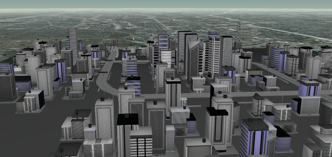
So geospatial is the data we collect and use which represents objects on the earths surface (organic and inorganic). Some call this a digital twin. Geospatial data allows us to create digital maps and ask 'where' based questions. Geospatial data allows us to build a digital representation of the real-world. Now that is hugely important.
Geospatial Revolution
New ways to collect, visualize and analyse geospatial data is at the heart of our geospatial revolution. Thanks to technology advances we are now able to view and ask questions of our world digitally. That means existing IT systems and solutions are slowly being reworked to be foundationally geospatial. Just like the real-world.
Now what we see out of our window we can see on any digital device.
One more definition:
"Location intelligence (LI) is the process of deriving meaningful insight from geospatial data (and relationships) to solve problems."
LI is how we ask questions of our geospatial data to solve actual problems. So real-world questions we can answer through our digital representation of our world.
I've long argued that focusing on maps, GIS, location analytics and other misunderstood terminology is mistaken. We need to spread the message that geo-technology should be foundational to all that we do in the digital world.
Full stack marketer. Tech Evangelist. Builds Brands.
6 年Couldn't agree more, that's what we are looking to achieve with Mapple?
Director | Planning & Development | Educator
6 年Cameron
Spatial Data Sommelier
6 年It starts with geography
Owner at Camera Ready Cosmetics
6 年Your tie to the digital twin concept is an important one.? When you think about the evolution of IoT, big data, and predictive analytics, digital twins can be an end state.? Geospatial digital twins is a natural.? And may create the gravitational pull needed for GIS to be in the mainstream of the digital economy.
i am so interested in this, Imagine Africa and all its unique features represented using digital data, am not talking about map data for navigation but for AI and ML application... Imagine collecting datas that allows machine to have a taste of real world feature just like humans do...