Understanding and Debunking Common Misconceptions About LiDAR Technology
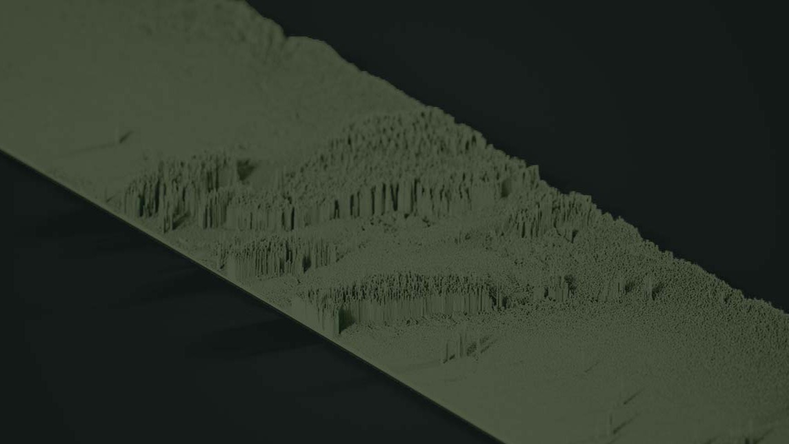
LiDAR (Light Detection and Ranging) has become increasingly important in fields such as surveying, environmental monitoring, autonomous vehicles, and urban planning. Despite its significant role, there are persistent misconceptions about what LiDAR can and cannot do. Let’s take a look at some of these misunderstandings, clarify the capabilities of LiDAR, and offer insight into when and why this technology is advantageous.
Misconception 1: LiDAR Can Penetrate Surfaces Like X-rays
One of the most common myths about LiDAR is that it can penetrate objects like walls, water, or the ground. However, LiDAR technology works by emitting laser pulses and measuring the time it takes for them to reflect back. While LiDAR can pass through vegetation to reveal ground-level details, it cannot penetrate solid surfaces, such as buildings or terrain. In applications where subsurface detail is needed, Ground Penetrating Radar (GPR) or other technologies are more appropriate.
Misconception 2: LiDAR is Always More Accurate Than Photogrammetry
Another widespread belief is that LiDAR data is inherently more accurate than photogrammetry. While LiDAR generally provides high-resolution data, particularly in capturing elevation and topography, accuracy depends on factors like equipment quality, sensor type, and environmental conditions. Photogrammetry, which relies on imagery from drones or satellites, can sometimes offer comparable accuracy for certain projects, particularly those that do not require the fine-grained elevation details that LiDAR excels in.
Misconception 3: LiDAR is a One-Size-Fits-All Solution
LiDAR is not universally the best choice for all types of mapping and data collection. Each project has unique requirements, and choosing the right technology is essential. For instance, LiDAR is ideal for projects requiring precise elevation models in areas with dense vegetation or low-light conditions, such as forest mapping. However, photogrammetry might be preferable for projects that prioritize visual detail over 3D topography, such as architectural modeling or land surveys in open areas. The key is to evaluate project requirements carefully and understand the strengths and limitations of LiDAR.
领英推荐
Misconception 4: LiDAR Can Only Be Used for Environmental Mapping
While LiDAR is certainly effective for environmental applications like forestry and floodplain analysis, its utility extends far beyond. LiDAR technology is used in urban planning, where it can create accurate 3D models of buildings and infrastructure. In the automotive industry, LiDAR is a critical component in autonomous vehicles, enabling them to navigate by generating real-time 3D maps of their surroundings. LiDAR is also used in archaeology, agriculture, and even telecommunications, making it a versatile tool across industries.
Misconception 5: LiDAR Technology is Too Expensive for Most Projects
There is a perception that LiDAR technology is prohibitively expensive, but costs have been decreasing over the past decade as the technology advances. The proliferation of drones equipped with compact and affordable LiDAR sensors has democratized access, making it feasible for small companies and individual researchers to use LiDAR for a variety of applications. The increased availability of LiDAR data from government and commercial sources further reduces costs, allowing for data analysis without the expense of primary data collection.
When LiDAR Makes Sense
Understanding when to choose LiDAR over other data collection methods is crucial for project success. LiDAR is most advantageous when:
Conclusion
LiDAR technology, while powerful, is not an overall solution. Its role in modern mapping and data collection is significant, but project leaders should base their technology choices on specific project requirements rather than assumptions. By debunking these common myths about LiDAR, professionals can better appreciate its true capabilities and limitations, ensuring more effective applications across a range of industries.
Business Development Executive @ EARTH ON MAPPING Consulting LIDAR || PHOTOGRAMMETRY || BIM || GEOSPATIAL || TOPOGRAPHY || UAV || ORTHO || REALITY CAPTURE || 2D-3D MAPPING
2 个月Useful tips
Editor @ Retire.Fund| Focusing on Future Tech stocks
2 个月5 Independent Lidar makers, ranked in order as Lidar technology comes into focus in 2025! Retirefunds.blogspot.com/2024/12/avs-robotaxis-and-robotics-all-need.html