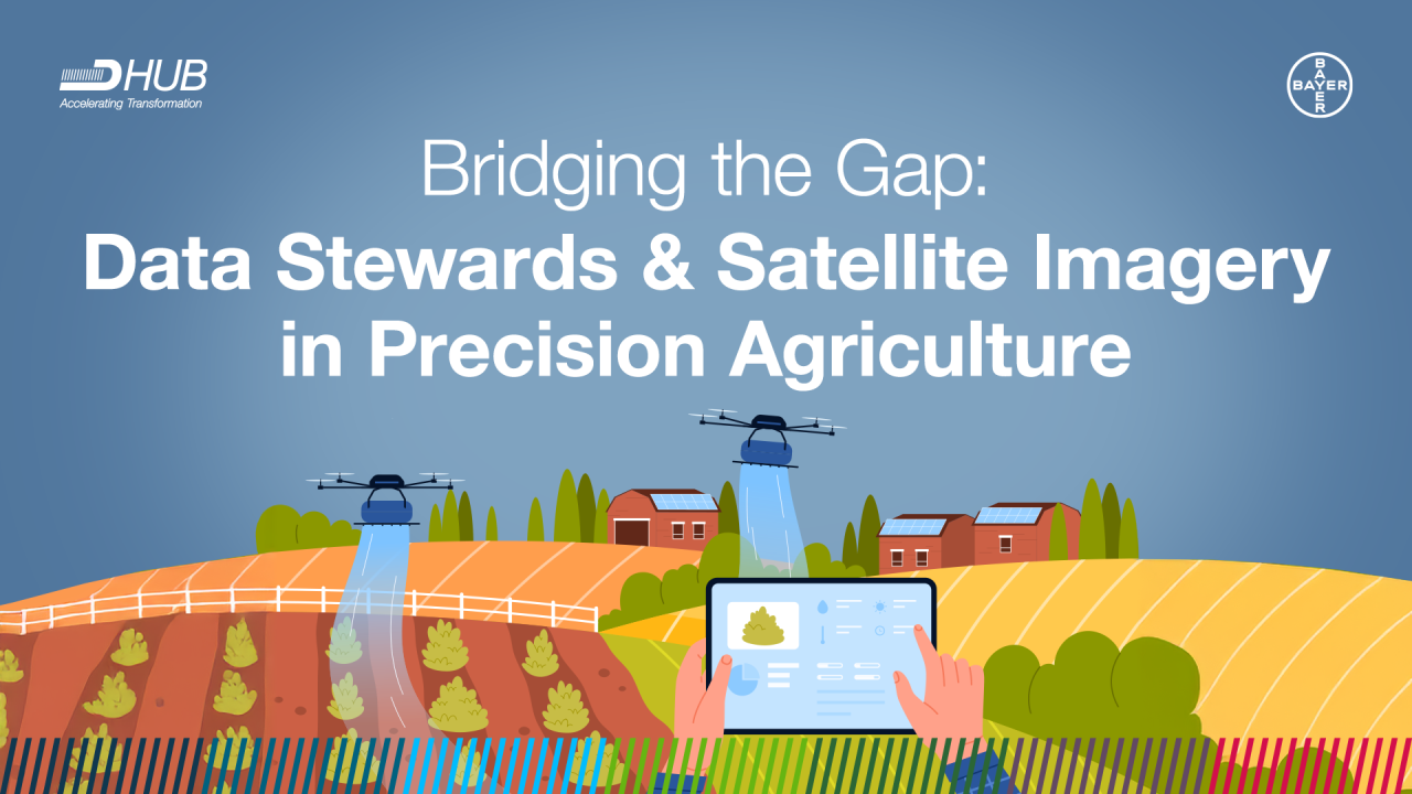
Bridging the Gap: Satellite Imagery
In the world of precision agriculture, satellite imagery has become a game-changer, offering farmers and agronomists the ability to monitor crops with high precision. This technology allows for observing fields from space and capturing critical data on soil health, crop growth, and environmental conditions. By leveraging satellite imagery, farmers can make informed decisions that enhance crop yield, optimize resource use, and minimize environmental impact. However, the volume and complexity of satellite data can be overwhelming for many users and this is where the role of the Imagery team at Bayer CS becomes crucial. Acting as an intermediary between satellite data vendors and data scientists, we ensure that users can effectively navigate and utilize this powerful resource.?
One of the primary challenges faced by satellite imagery users is their lack of awareness of the complexity and variety of available data options and how to analyze data effectively. Satellite data is not a one-size-fits-all solution; it must be tailored to the user's specific needs. However, many users may not fully understand those needs or how to articulate them.
To address this, data steward should ask key questions that help to clarify the user’s requirements:?
- Area of Interest (AOI) Size: How large is the area that needs monitoring or analysis? Which region??
- Required Sensor Types: What types of sensors are necessary (e.g., radar, multispectral, hyperspectral, thermal)??
- Desired Spectral Bands: Are specific spectral bands needed for the analysis (e.g., near-infrared for vegetation monitoring)??
- Spatial and Temporal Resolution Needs: What is the required resolution, both spatial (pixel size) and temporal (frequency of image capture)??
- Time Range of Interest: What time period does the data need to cover??
By guiding users through these questions, we can help them better define their needs and ensure that the satellite data they acquire is appropriate for their purposes.
领英推è
However, users often find themselves uncertain about their specific requirements or may lack a clear understanding of how satellite data can effectively address their challenges. Imagery team at Bayer plays a vital role in bridging this gap by assisting clients in articulating their needs and connecting them with the appropriate satellite data products. To achieve this, understanding of the client's use case is essential. The following questions can help facilitate this:?
- What problem are they aiming to solve? For instance, are they interested in monitoring crop health or defining field boundaries??
- What outcomes do they wish to achieve with satellite imagery? Are they looking to enhance decision-making, forecast future trends, or simply document changes over time??
By exploring these elements, we can guide clients toward the most appropriate data solutions and ensure that their investments in satellite imagery yield the desired outcomes.